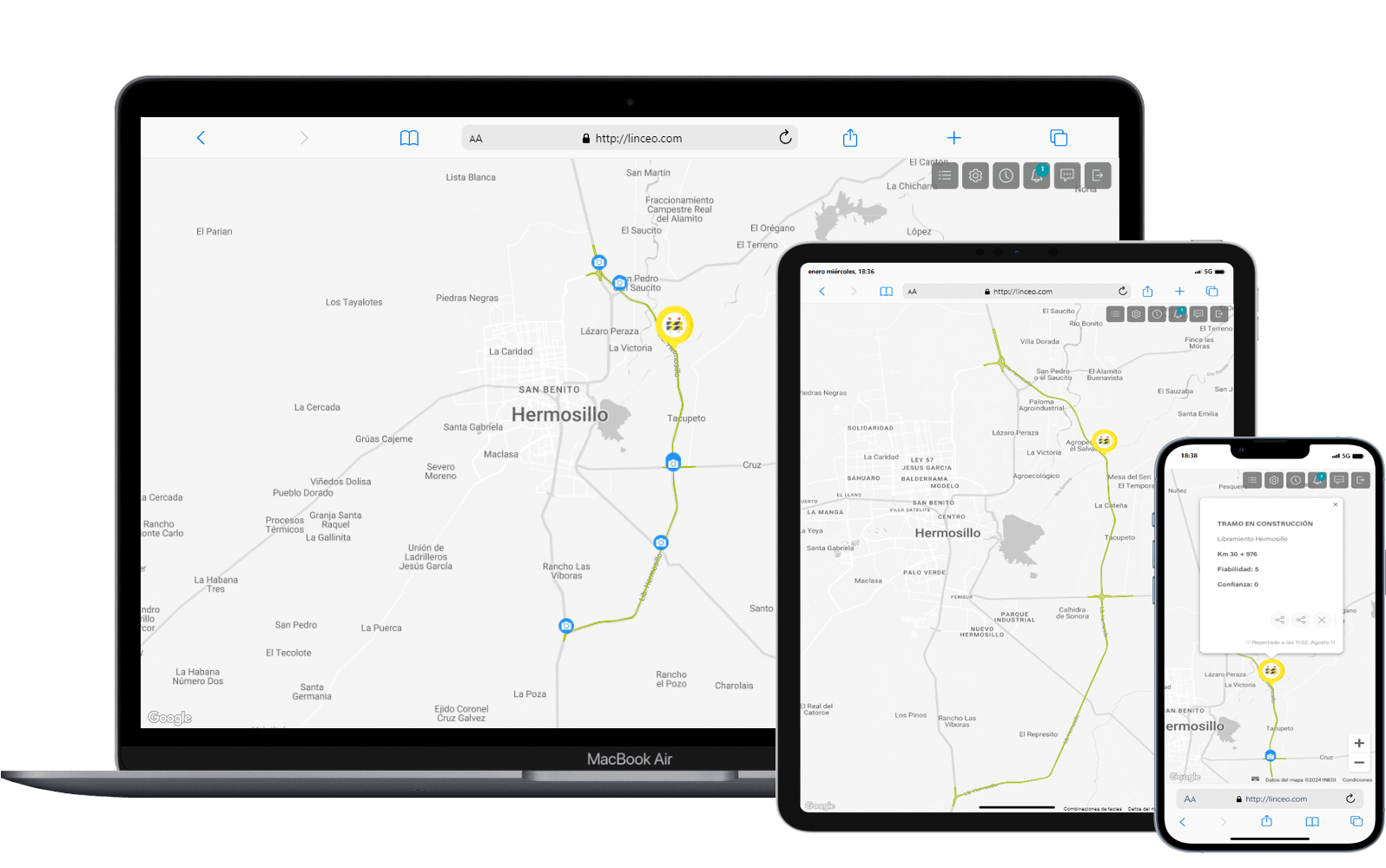
01
Create a better experience and reduce the carbon footprint based on reports from thousands of users.
02
Real-time incidents and traffic visualization in a exclusive display of your highway sections.
03
Fully customizable for each operator. With FOE registration, for event confirmations and location accuracy.
3 different user
profiles.
Administrator
New users register and manage project data.
Operator
Access to live maps with all the platform operational management.
Client
Provides access to the map in real-time.
New users register and manage project data.
Operator
Access to live maps with all the platform operational management.
Client
Provides access to the map in real-time.
A responsive
design
design
Access from any mobile device and browser. Report incidents on your roads and share them on mapping platforms in real time.
Send the LINCEO team a
message.
message.
Required fields are marked with an asterisk (*).
Our tool allows a LINCEO platform, between users, infrastructure
operators and authorities, benefiting all parties with accurate
trip/infrastructure information for users security, better decision making
and assistance efficiency
© Egis - All rigths reserved